Protecting the Waitakere Ranges
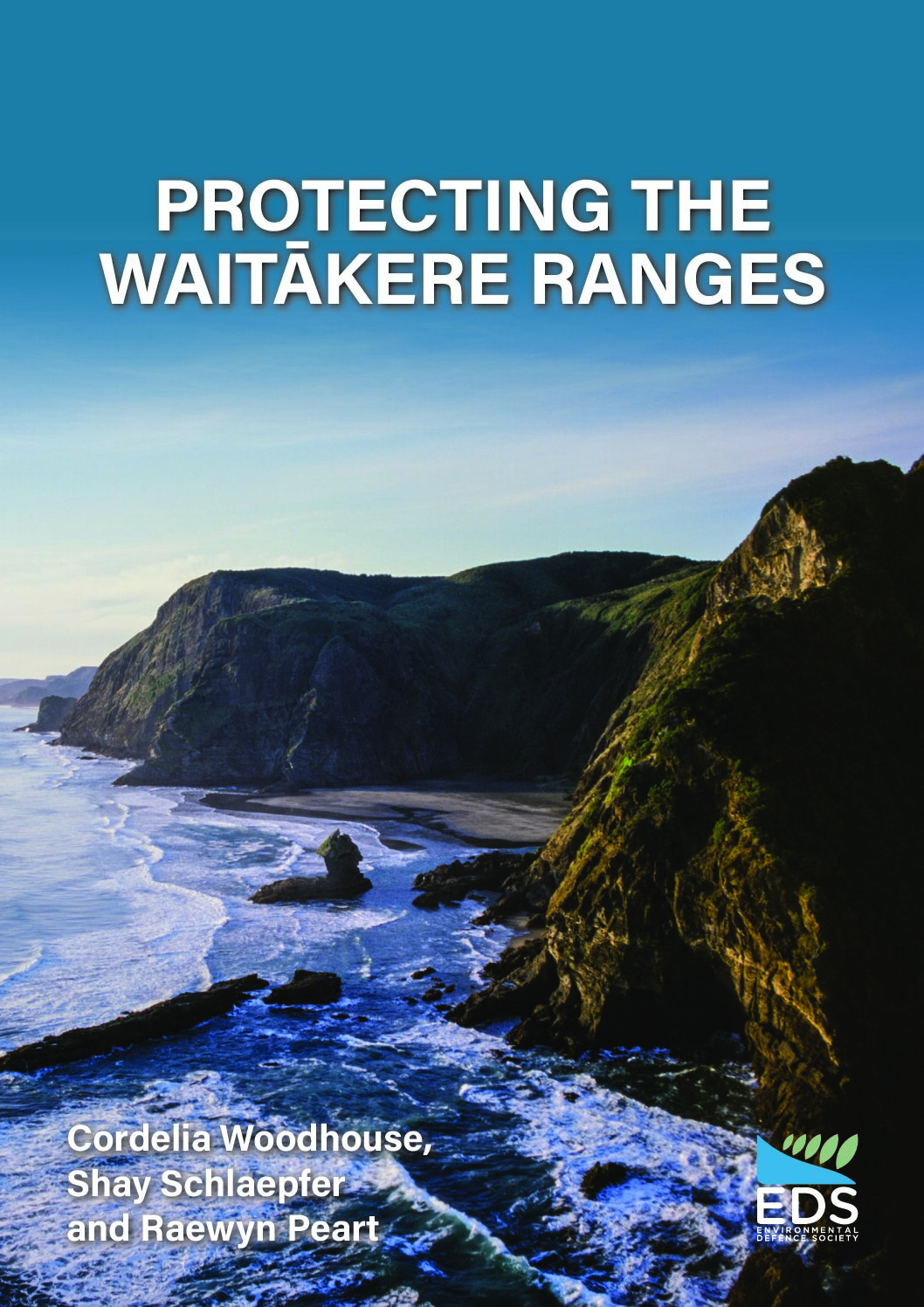
The Waitākere Ranges is an iconic volcanic and coastal landscape located on the western fringe of Auckland City. It includes windswept beaches, dunes, streams, wetlands, ridges, headlands, cliffs, islands and extensive coastal forests. Rolling pastoral foothills frame the bush-covered Ranges from the east, providing a buffer between the Ranges proper and the sprawl of metropolitan Auckland. These landscapes support a wide range of flora and fauna. In particular, the Ranges contain the largest area of contiguous indigenous vegetation within the Auckland region, including many kauri trees.
Given their proximity to the country’s largest city, the Waitākere Ranges have long been under considerable development pressure. In addition, increasing visitor numbers, kauri dieback disease, weeds and pests have continued to take their toll on the area.
In 2008, the Waitākere Ranges Heritage Area Act was passed to provide the area with an extra layer of statutory protection. The legislation established the Waitākere Ranges Heritage Area which spans around 27,700ha of both public and privately-owned land. The approach taken was at the time, and still is, novel in the New Zealand context. This case study explores the effectiveness of the legislation in protecting the high landscape values of the area. It also provides a set of recommendations on how the current management regime can be further strengthened to ensure that the Waitākere Ranges are protected and restored for the benefit of future generations.